

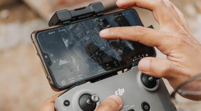
Understanding the Role of Drones in Professional Mapping
In recent years, the use of unmanned aerial vehicles (UAVs), commonly known as drones, has revolutionized the field of professional mapping. These aerial platforms offer an efficient and cost-effective method for capturing high-resolution geospatial data, which is crucial for various industries including agriculture, construction, environmental monitoring, and urban planning. Selecting the best drones for mapping requires a clear understanding of the technical specifications and capabilities that align with specific project requirements.
Key Features to Consider for Mapping Drones
When evaluating drones for professional mapping tasks, several critical features should be taken into account to ensure accurate and reliable data collection:
- Camera Quality and Sensors: High-resolution cameras coupled with multispectral or LiDAR sensors enhance the precision of topographic and volumetric measurements.
- Flight Time and Battery Life: Longer flight times allow for covering larger areas in a single mission, reducing the need for frequent battery swaps.
- GPS Accuracy and Stability: Advanced GPS modules improve geotagging accuracy, which is essential for creating precise maps and models.
- Payload Capacity: The ability to carry additional sensors or equipment can extend the drone’s functionality beyond basic imaging.
- Ease of Use and Software Compatibility: Intuitive controls and compatibility with mapping software streamline data processing and analysis.
Comparing UAVs and Drones in Mapping Applications
It is important to clarify the distinction between UAVs and drones, as this often causes confusion. While the term “drone” is broadly used to describe any remotely piloted aircraft, UAV refers specifically to the aircraft component without a human pilot onboard. In professional mapping, UAVs are equipped with sophisticated sensors and flight control systems to automate missions with minimal human intervention. Understanding this difference helps in choosing systems designed specifically for commercial drones applications, ensuring compliance with regulatory standards and mission requirements.
Applications of Drones in Surveying and Inspection
Beyond mapping, drones have become indispensable in various commercial drones applications such as surveillance drone operations and drone inspection tasks. For example, drone utility inspection allows for the remote assessment of infrastructure like power lines, pipelines, and telecommunications towers, reducing risks and costs associated with manual inspections. Similarly, drone security measures utilize aerial platforms to monitor large areas effectively, providing real-time data that enhance situational awareness for security personnel.
Best Practices for Implementing Drone Mapping Projects
To maximize the benefits of drone mapping, professionals should adhere to certain best practices:
- Pre-Flight Planning: Define the project scope, flight paths, and data capture parameters to ensure complete coverage and data quality.
- Regulatory Compliance: Obtain necessary permits and follow local aviation regulations to operate legally and safely.
- Data Management: Establish protocols for storing, processing, and analyzing collected data to maintain consistency and accuracy.
- Regular Maintenance: Keep drones in optimal condition through routine inspections and software updates.
- Training and Skill Development: Equip personnel with the necessary skills for safe operation and effective data interpretation.
Elevating Mapping Capabilities with Advanced Drone Technologies
Choosing the best drones for mapping is not merely about selecting hardware; it involves integrating advanced technologies that enhance data accuracy and operational efficiency. By leveraging drones designed for professional mapping, alongside strategic planning and adherence to industry standards, organizations can significantly improve their spatial data acquisition processes. This advancement facilitates better decision-making and supports a wide range of applications from environmental monitoring to urban development and infrastructure management.